Missouri River Runner gets second round trip for remainder of year as of July 19 Amtrak’s Missouri River Runner will restore its second daily round trip as of July 19. State funding and federal coronavirus relief funds will maintain the two-round-trip schedule between St. Louis and Kansas City through the remainder of 2021. “We appreciate […]
Read More…
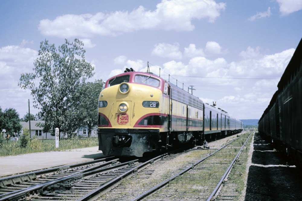
Before the whiteout Wearing the handsome yellow, black, and red Kansas City Southern passenger-diesel livery, E8 No. 28 is at Sallisaw, Okla., with the New Orleans-Kansas City Southern Belle in June 1962. KCS began using a version of this paint scheme, introduced with the Belle in 1940. The railroad later went to all-red and all-white […]
Read More…
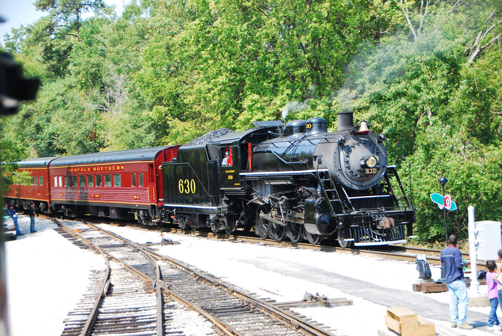
Visiting Tennessee Valley Railroad Museum If you took a major Class I railroad in the early 1950s, shrunk it, and set it aside to show people today what a section of big-time, steam-era railroading was all about, you’d create Tennessee Valley Railroad Museum. Set on a portion of Southern Railway’s original main line into Chattanooga, […]
Read More…
Transport Canada issues series of new rules on track maintenance Transport Canada issued new rules on track inspection and management on Monday updating the agency’s Rules Respecting Track Safety on a number of fronts, to be addressed in three stages. As outlined in a ministerial order, the first stage addresses training, verification, and record-keeping for […]
Read More…
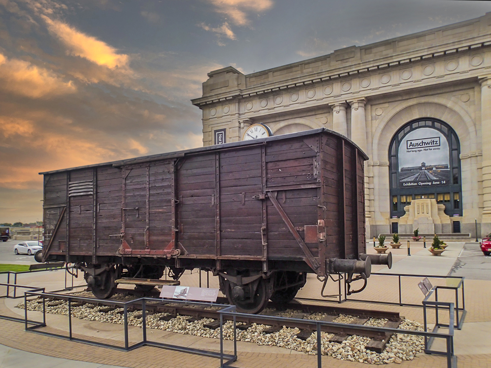
KANSAS CITY, Mo. — By railfan standards this two-axle, metal-framed, wooden rail freight wagon is an interesting, vintage piece of rolling stock, but otherwise unremarkable. For the world at large, it has a larger, darker place in history, which is why it is on display at Kansas City’s Union Station. The car was one of […]
Read More…
CHICAGO — Six former railroad employees face charges carrying prison sentences up to 20 years, as well as cash penalties ranging from $10,000 to more than $270,000, after being indicted for alleged disability-benefits fraud, the U.S. Attorney’s Office for the Northern District of Illinois has announced. The six are accused of working other jobs while […]
Read More…
Agracel Rail Holdings launches with agreement at Ohio industrial park A company providing industrial development services to rural communities is launching a rail affiliate. Agracel Rail Holdings, a subsidiary of Agracel, Inc., will begin operations by redeveloping and operating rail infrastructure at The Point Industrial Park in South Point, Ohio. “Our goal in becoming a […]
Read More…
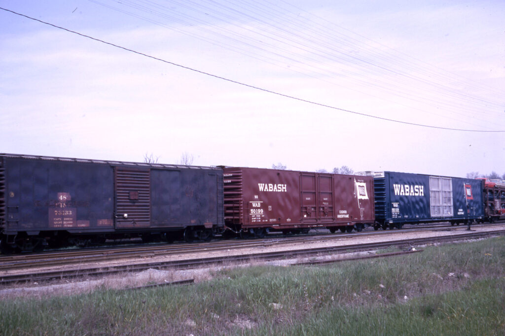
Freight car evolution Auto parts trains were a mixed bag in the mid-1960s. This Wabash train in May 1964 shows an old 50-foot parts car with only the code and car numbers visible, new 60- and 85-foot cars, and an open auto rack. J. David Ingles collection […]
Read More…
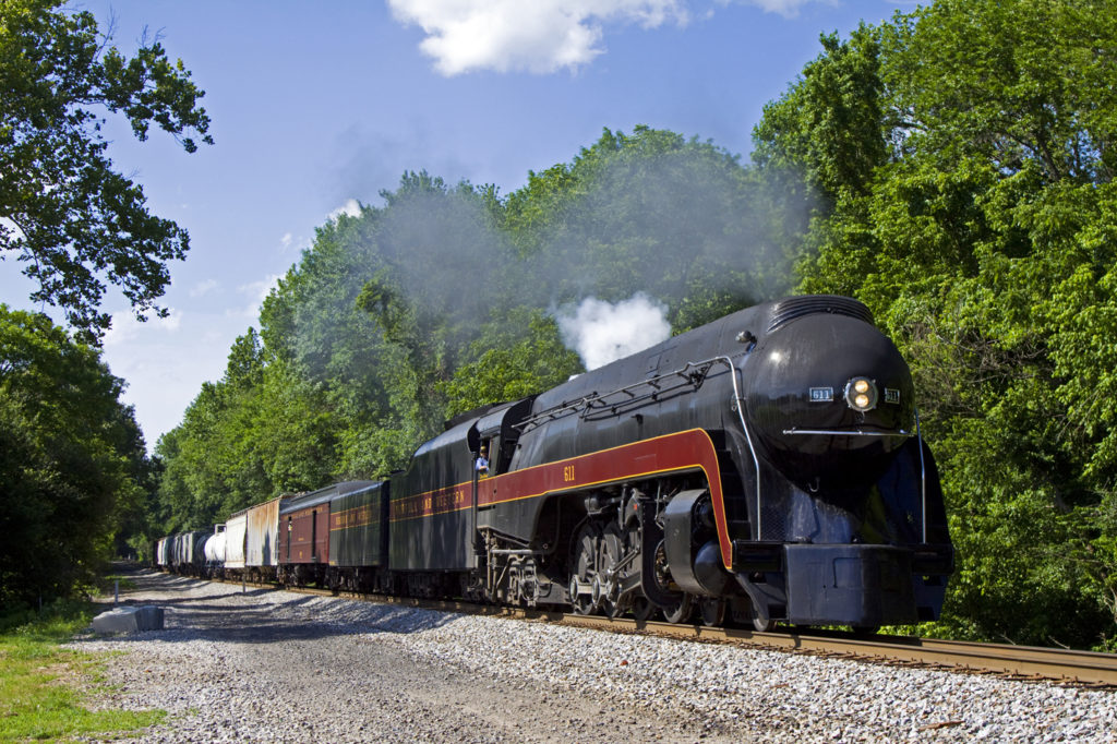
N&W 611 heads to Strasburg for lengthy stay Its stoker repaired, Norfolk & Western Class J steam locomotive No. 611 made the move from the Virginia Museum of Transportation on Monday and is slated to begin operation at Pennsylvania’s Strasburg Rail Road this Saturday, May 29. For security reasons, the museum did not announce a […]
Read More…
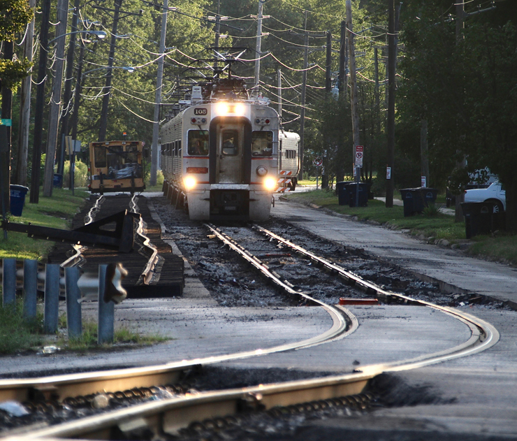
South Shore agency studying ways to reduce cost of Double Track project The Northern Indiana Commuter Transportation District is studying options for lowering the cost of its Double Track project to add a second main for South Shore Line service between Gary, Ind., and Michigan City. The Times of Northwest Indiana reports that South Shore […]
Read More…
Gonot named to lead Santa Clara VTA California’s Santa Clara Valley Transportation Authority has selected Carolyn Gonot as its new CEO and General Manager. Patch.com reports Gonot, who spent more than 20 years with the agency, will return to lead it after almost two years as the executive director of the Utah Transportation Authority. She […]
Read More…

Canadian government announces $21 million in funding for rail safety projects The Canadian government announced it would spend more tha C$21 million to help fund 135 projects across Canada under the Rail Safety Improvement Program — Infrastructure, Technology, and Research. The funds will address grade crossing improvements, small projects such as fencing and pedestrian crossings, […]
Read More…


