The Latest in Modeling & Railroads
Join the Unlimited Membership to experience all of what trains.com has to offer.

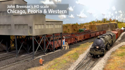
Classic Toy Trains

Model Railroader


Featured Articles


Digital Membership
Unlimited members get full access to our content library. Start your free trial today
Free Trial
Popular Topics
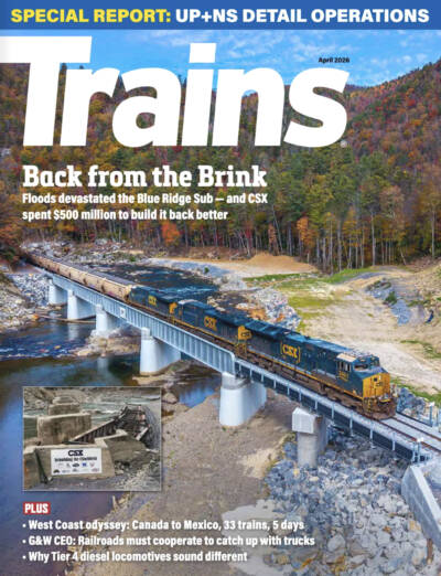
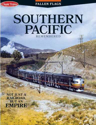
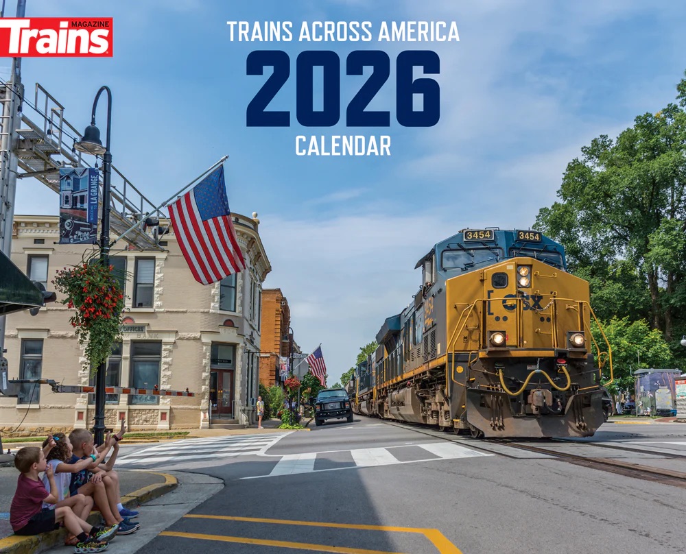
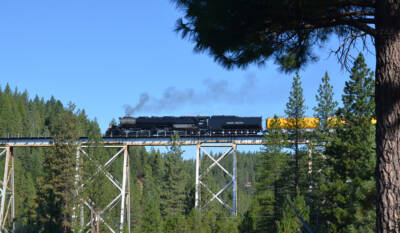
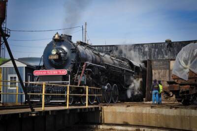
Trains Magazine

Trains Magazine

Trains Magazine
Trains Magazine

Trains Magazine

Trains Magazine
Trains Magazine
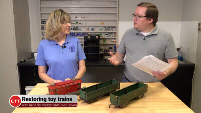
Classic Toy Trains
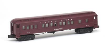
Classic Toy Trains
Classic Toy Trains
Classic Toy Trains
Classic Toy Trains

Model Railroader
Model Railroader
Model Railroader
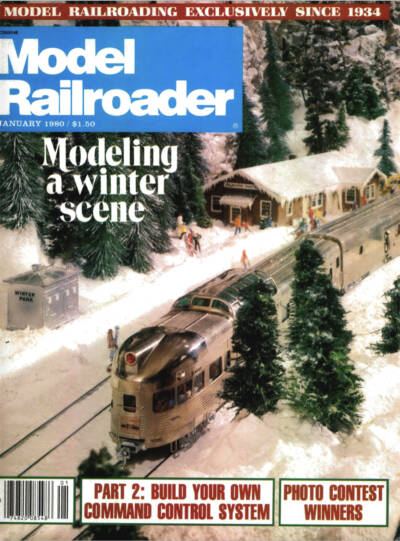
Model Railroader


Top Categories


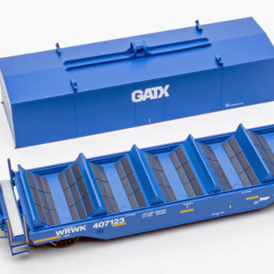
Product and Hobby News
Classic Toy Trains

Model Railroader
Classic Toy Trains
Model Railroader
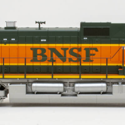
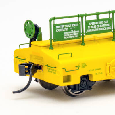
Reviews
Model Railroader
Model Railroader
Model Railroader
Model Railroader
Introducing the Trains.com Unlimited Membership
As an Unlimited Member, you’ll get complete access to all content on Trains.com from our family of brands, PLUS thousands of issues in the magazine archives, our all-new video series and workshops, live webcams, behind-the-scenes events and tours, and more!
Start Your 30-Day Free Trial Why Join
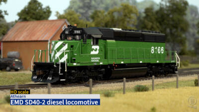
Video Workshops
Watch and Learn: From how-tos and tips to railroad and layout visits, our experts have you covered. To get the full experience, unlock access to all videos with the Unlimited Trains.com Membership .
Model Railroader
Model Railroader
Model Railroader
Trains.com
Model Railroader
Model Railroader

Model Railroader
Model Railroader