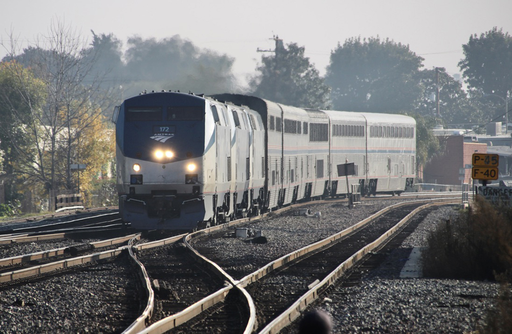
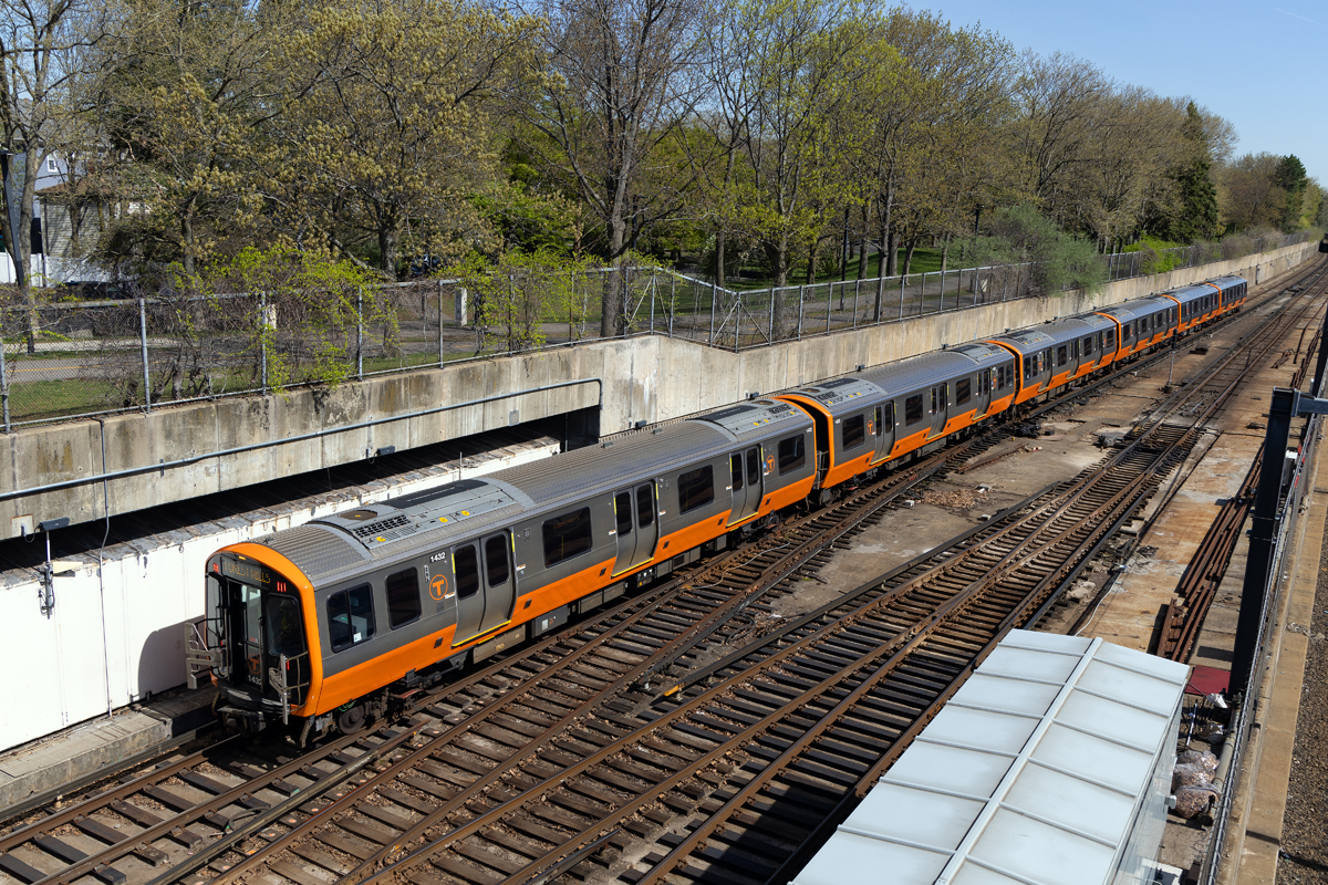
MOUNTAIN VIEW, Calif. — Google is rolling out a feature in its Maps app that will predict how crowded your public-transit train or bus will be.
The feature, announced Thursday, will be available for about 200 cities worldwide. The company has been receiving reports on crowdedness on transit from Google Maps uses since October 2019. The Verge reports that riders were asked to identify conditions using four options: many empty seats, few empty seats, standing room only, or cramped standing room only. It is using that information to predict the passenger load on a given train or bus during peak commuting hours. In a blog post, it also identified the most crowded lines worldwide and in a few selected cities.
The company is also launching a feature offering live information on delays on bus routes.


Since October 2019?
That could be a useful metric for both frequent riders, tourists and newer riders. At a glance one could see what lines are less impacted by road construction or a fire event and shift accordingly. Here in Portland, Oregon we get bridge lifts that impact the rail lines more than some bus lines. I wonder if the (shameless plug) Willamette Shore Trolley will be on this.
Fake news !!!!!!!!!!!!!!!!
since October 2019.