Atlanta Beltline
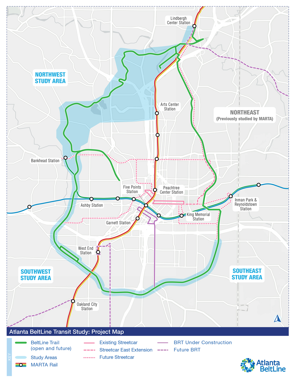
ATLANTA — Atlanta BeltLine, Inc. is launching a study that proposes using 13.6 miles of a 22-mile rail transit corridor to circle downtown Atlanta. Known as the BeltLine loop, a mixture of biking and hiking trails along with a light-rail line will reuse sections of an inactive right-of-way.
The study, a recent press release says, will be funded by the Federal Transit Administration to identify the preferred route and station locations in the northwest quadrant [see “Last segment of Atlanta Beltline project faces rail obstacles,” News Wire, Aug. 30, 2021]. Station locations in the southwest and southeast quadrants will also be explored with a route already determined. Studies for the northeast route and stations have been completed by the Metropolitan Atlanta Rapid Transit Authority (MARTA).
Kimley-Horn & Associates confirmed conducting a 24-month-long study that includes:
- Field investigation
- Consolidation of previous studies
- Stakeholder and public outreach
- Environmental screening
- Equity considerations
- Service planning
- Ridership forecasting
- Financial planning
A virtual public meeting — broadcasting through Zoom and Facebook — regarding the recent development of this project will be held on Oct. 2 at 6:30 p.m.
The 13.6-mile portion of the BeltLine corridor would link the existing MARTA rail and bus network with the city’s multi-use trails making it more accessible. This project is about “high-quality ways to connect people to jobs, health care, shopping, education, and opportunity while making Atlanta a more mobile city. Rail transit is key to how we do that,” says President and CEO of Atlanta BeltLine Inc. Clyde Higgs.
— Updated Sept. 19 at 9:30 a.m. with virtual public meeting rescheduled from Sept. 25 to Oct. 2.


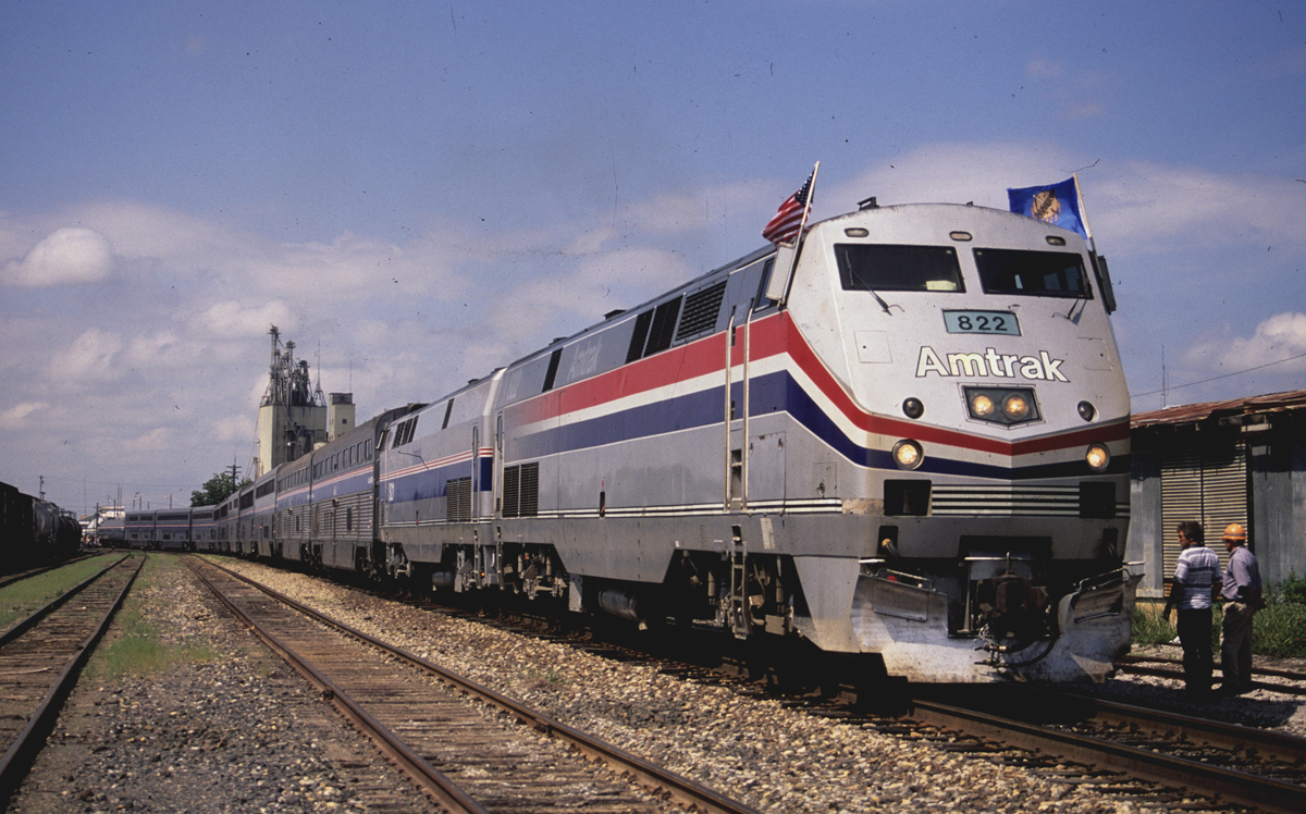


Amtrak? At the junction of I-75 and I-85. Not even close to the “Loop.”
Is the Amtrak Station close to the Heavy Rail lines? Should be intermodal, got some leaders in Seattle that are worried about more displacement in the Chinatown/International District, that they are willing to sacrifice intermodal connectivity on the West Seattle LRT line. Some in WS are pushing for the No Build option. If they get their way, it will be Deja Vu. In 68, and 70 they said no, the Federal Money went to Atlanta.
For those not familiar with Atlanta, where on this map would be the existing Amtrak station?
It’s roughly one mile NNW of the Arts Center Station on the map. Basically the confluence of the two white lines.