Railroads & Locomotives Maps Mainline tonnage, 1980/2005

Mainline tonnage, 1980/2005

By Angela Cotey | January 18, 2010

| Last updated on March 17, 2021

American railroads are moving nearly twice as much tonnage today as they did in 1980. We compare the busiest routes.

Email Newsletter

Get the newest photos, videos, stories, and more from Trains.com brands. Sign-up for email today!

Union Pacific predecessors map thumbnail
Jeff Wilson and Robert Wegner

This Map of the Month appeared in the February 2007 issue of Trains magazine.

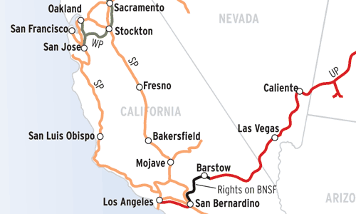
Twenty-five years separate these two maps showing the busiest freight railroad lines in the United States.

The 1980 map depicts American railroads at the end of regulation — the Staggers Rail Act of 1980 was signed into law Oct. 14. With merger provisions streamlined, railroads combined into successively larger systems, cementing their claim on key routes and markets. Meanwhile, ratemaking freedom enabled railroads to begin earning better rates of return, which in turn prompted investments in physical plant and equipment to meet surging traffic levels, notably low-sulfur coal from Wyoming’s Powder River Basin and imported goods from Asia arriving at coastal port cities.

Perhaps most remarkable is that American railroads are carrying nearly twice as much today as they did 25 years ago; revenue ton-miles have skyrocketed from 918 billion in 1980 to 1.696 trillion in 2005. Two routes have seen a threefold increase in tonnage: Union Pacific’s Overland Route and BNSF’s Transcon.

Railroads included in this map:
Atchison, Topeka & Santa Fe; BNSF Railway; Burlington Northern; Canadian National; Canadian Pacific; Chessie System; Chicago & North Western; Chicago, Milwaukee, St. Paul & Pacific; Clinchfield; Conrail; CSX Transportation; Delaware & Hudson; Denver & Rio Grande Western; Grand Trunk Western; Illinois Central Gulf; Kansas City Southern; Montana Rail Link; Louisville & Nashville; Missouri Pacific; Norfolk Southern; Norfolk & Western; Richmond, Fredericksburg & Potomac; Seaboard Coast Line; Soo Line; Southern; Southern Pacific; St. Louis Southwestern; Union Pacific

Download the map
Success, start your free download!
Download the map PDF
You must login to submit a comment